
NASA Develops CASALS Instrument for Creating More Accurate 3D Maps of Earth's Surface
21.10.2026, 16:15·
COLLECTED AND VERIFIED AUTOMATICALLY
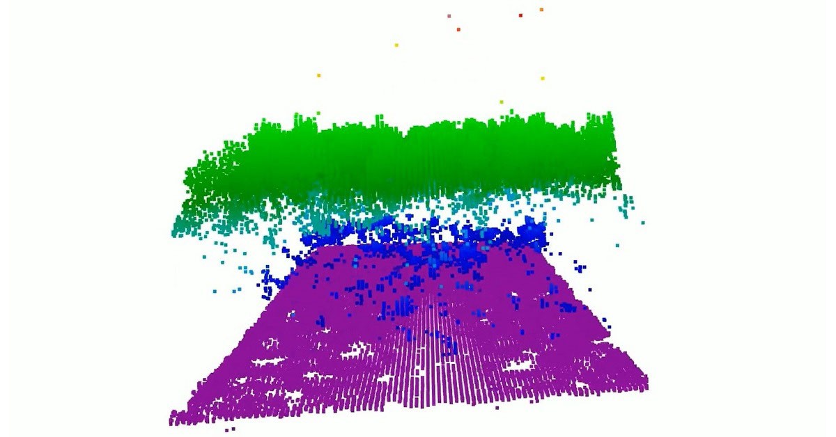
Existing space-based laser instruments for studying Earth's forests and terrain measure the planet's surface in narrow lines, leaving significant gaps between them — millions of acres of land remain outside of direct scientific observation. To address this problem, NASA has developed a new instrument called CASALS (Compact Adaptive Scanning Lidar System).
The distinguishing feature of CASALS lies in the combination of machine learning technologies with an ultra-compact lidar. This allows the instrument to adaptively "scan" significantly larger areas of Earth's surface compared to existing systems, which are limited to narrow measurement strips.
Lidar technology uses laser pulses to measure distances and create detailed three-dimensional maps of terrain. The application of artificial intelligence in NASA's new instrument makes it possible to optimize the scanning process, dynamically adapting to the characteristics of terrain and vegetation, which should significantly increase the efficiency and coverage of observations.
The new development is expected to help scientists obtain more complete and detailed data on forest cover, topography, and other characteristics of Earth's surface, filling in the gaps that previously remained inaccessible for study. This could be of significant importance for monitoring climate change, managing forest resources, and studying the planet's ecosystems as a whole.
This article was generated and published automatically from verified sources. If you spot an inaccuracy, it will be corrected on the pipeline's next pass.