
Satellite Image Puzzle for October 2026 Published
06.10.2026, 22:01·
COLLECTED AND VERIFIED AUTOMATICALLY
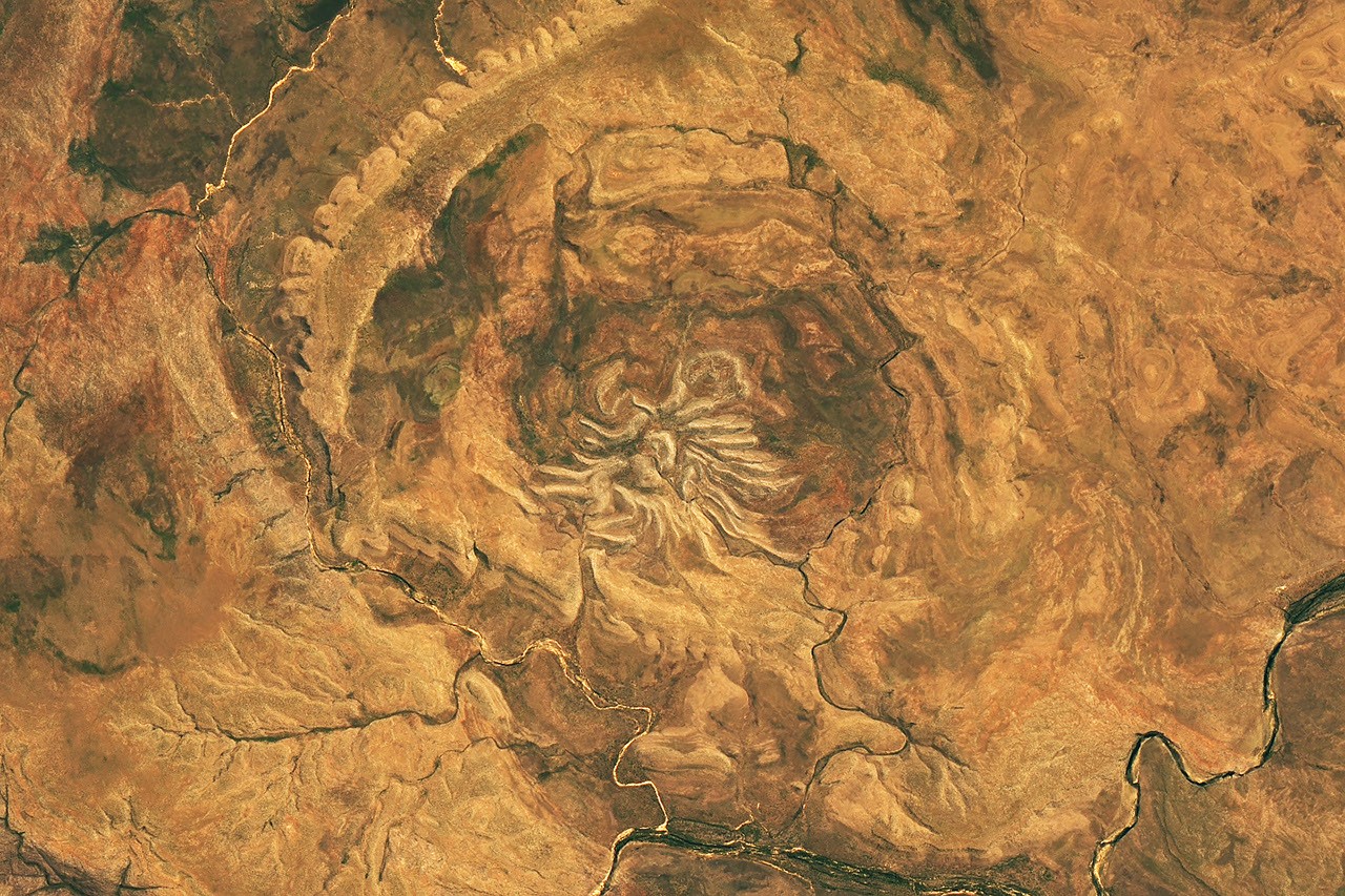
The editorial office has published the next puzzle in a series dedicated to satellite images, timed to October 2026. Readers are invited to determine the exact geographic location captured in the image taken from space and explain why this particular area of Earth's surface is of interest.
Such publications traditionally use images obtained from orbital satellites and demonstrate unusual natural formations, traces of human activity, geological features, or consequences of climate and weather phenomena. Participants are encouraged to rely on visual clues—terrain shape, vegetation color, outlines of water bodies, road networks, or urban development—to determine the shooting location.
The format of such interactive materials is popular with audiences interested in geography, cartography, and Earth sciences, as it combines entertainment with educational value. The answer to the puzzle is typically published later along with a detailed explanation of what is shown in the image and what its scientific or cultural significance is.
This article was generated and published automatically from verified sources. If you spot an inaccuracy, it will be corrected on the pipeline's next pass.